Safety
MKLPA Water Safety Program updates
Accomplishments to date:
- WATER SAFETY TRI-FOLD HANDOUT – developed and produced a tri-foldWater Safety brochure and distributed to over 40 locations including all boat landings for handout.
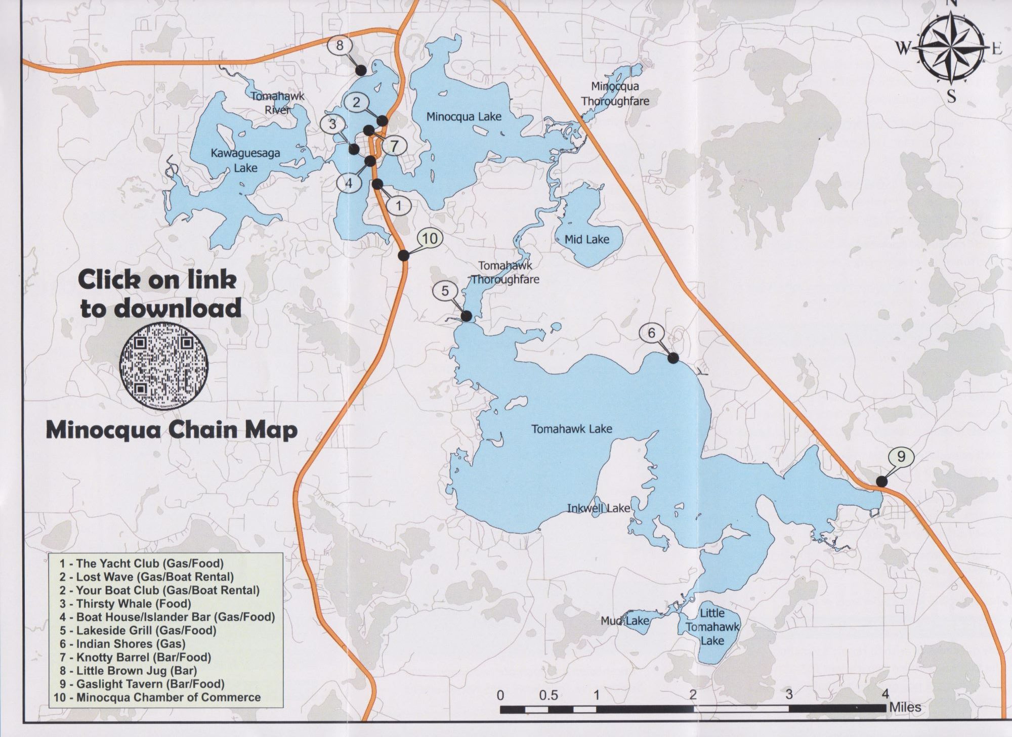
- CHAIN OF LAKES MAP – Inside foldout is a map of the Minocqua Chain with a QR code to download the map to your Smart phone.
- OBJECTIVE – “To educate and inform users of the Minocqua and Kawaguesaga lakes on watercraft safety ordinances and proper etiquette.”
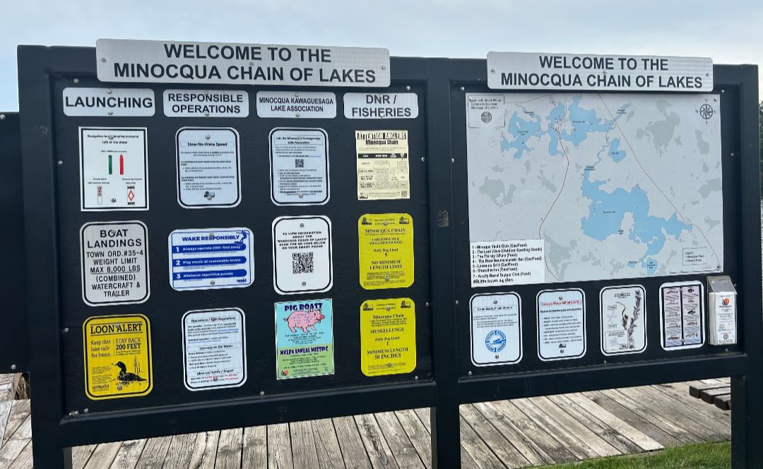
- BOAT LANDING COMMUNICATION CENTERS – developed and produced new signage along with a FULL SIZE Minocqua Chain of Lakes Map. This also includes aQR code so you can download the map to your Smart phone. The Town of Minocqua constructed new communication center structures. The Communication Centers are located at the Thristy Whale (double sided), the Library, and Throughfare boat landings.
- OBJECTIVE–MAP –Minocqua Chain of Lakes Navigation MAP showing NAVIGATION hazards, no wake ZONES, gas availabilities, restaurants.
- NO WAKE ZONE – with Town of Minocqua approval – completed a NO WAKE ZONE covering the entire water system from the exit of Lake Minocqua to the entrance of Lake Tomahawk – thus the entire Throughfare river system.
- IMPROVE CHANNEL AND BUOY SYSTEM– new channel marker buoys (red / green) to improve navigation around the east side of Fifield Island leading into and out of Lake Kawaga.
- SHORELINE PRESERVATION– continuing to improve communication and awareness of wake and wave damage to shorelines from wake board boats and violations of NO WAKE zone areas.
- LAKE ASSOCIATION RELATIONSHIPS – developed relationships with key members of Lake Tomahawk and Mid Lake to share common goals and improve water safety throughout the chain.

The Safe Boating Campaign is a worldwide effort focused on responsible boating led by the National Safe Boating Council in partnership with the U.S. Coast Guard. At its heart, the Safe Boating Campaign is a grassroots effort that collaborates with partners around the world to share about safe boating in their local communities through events, social media, workshops, and more.


